 |
|
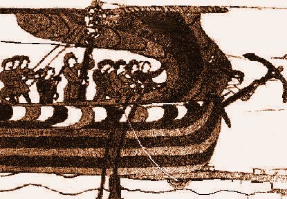
Up and down the CoastOn most journeys the Vikings sailed along the coast so they could use the valleys and mountains as landmarks. But this was not always so easy. The tale of Ottar the Merchant and his journey from Hĺlogaland in Norway via Skiringssal, Hedeby to King Ethelred in London about. 880 give you some idea of the problems. When one sailed from Norway to Denmark along the coast you navigated by natural landmarks like mountain tops reefs, and islets etc. If you were sailing along the German Baltic coast in the fog and bad weather you could keep a safe distance from land by sounding the depth. Here the bottom slides evenly down from land. If you were sailing from Denmark west it was natural to follow the German coast to Friesland and then to Normandy. This coastal journey wasn't very dependent on navigational instruments. The same degree of navigational knowledge wasn't required for sailing the Baltic as the North Sea or the great ocean itself -the North Atlantic.
Along the coast there are many mountains with distinctive appearances and tied to many of these are legends and myths. The older crew-members recited these myths to the younger members of the crew while rowing or sailing along the coast. The stories helped them remember the course more readily. |
|

